![Item #6495 Hollande et Belgique. Map]. J. Migeon.](https://krysikbooks.cdn.bibliopolis.com/pictures/6495.jpg?width=768&height=1000&fit=bounds&auto=webp&v=1594183910)
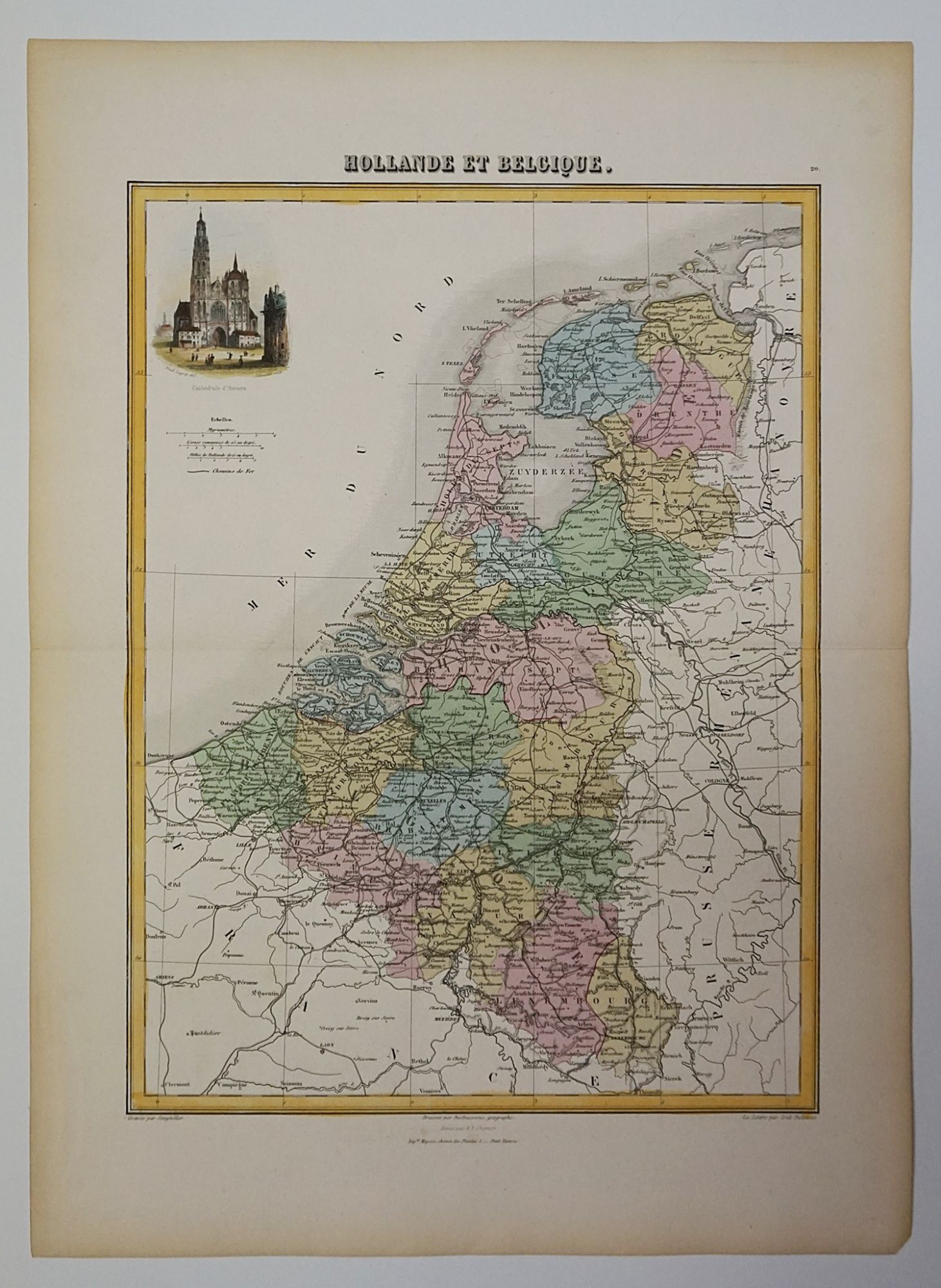
Hollande et Belgique. Map]
Paris: 1878. Very Good. Item #6495
Published in Geographie Universelle. Steel engraved map, hand-coloured. Sheet dimensions [490 x 360mm]. Map dimensions [480 x 350mm]. Slight aging around edges of sheet. Fold horizontally along centre of map. Bottom right corner of sheet has been clipped. This map shows Holland (now The Netherlands) and Belgium, detailing mountains, rivers, towns, and many geographical locations. This specific map was issued as plate no. 20 in Migeon's Geographie Universelle. There is a cartouche in the top left corner showing a cathedral and various people standing around it. Based in Paris in the 19th century, J. Migeon (1855-1899) was a map publisher, whose most famous publication was the very book this map was part of.
Price (CAD): $125.00