![Item #6510 A Map of South America and the Adjacent Islands 1797. Map]. Jedidiah Morse.](https://krysikbooks.cdn.bibliopolis.com/pictures/6510.jpg?width=768&height=1000&fit=bounds&auto=webp&v=1594351216)
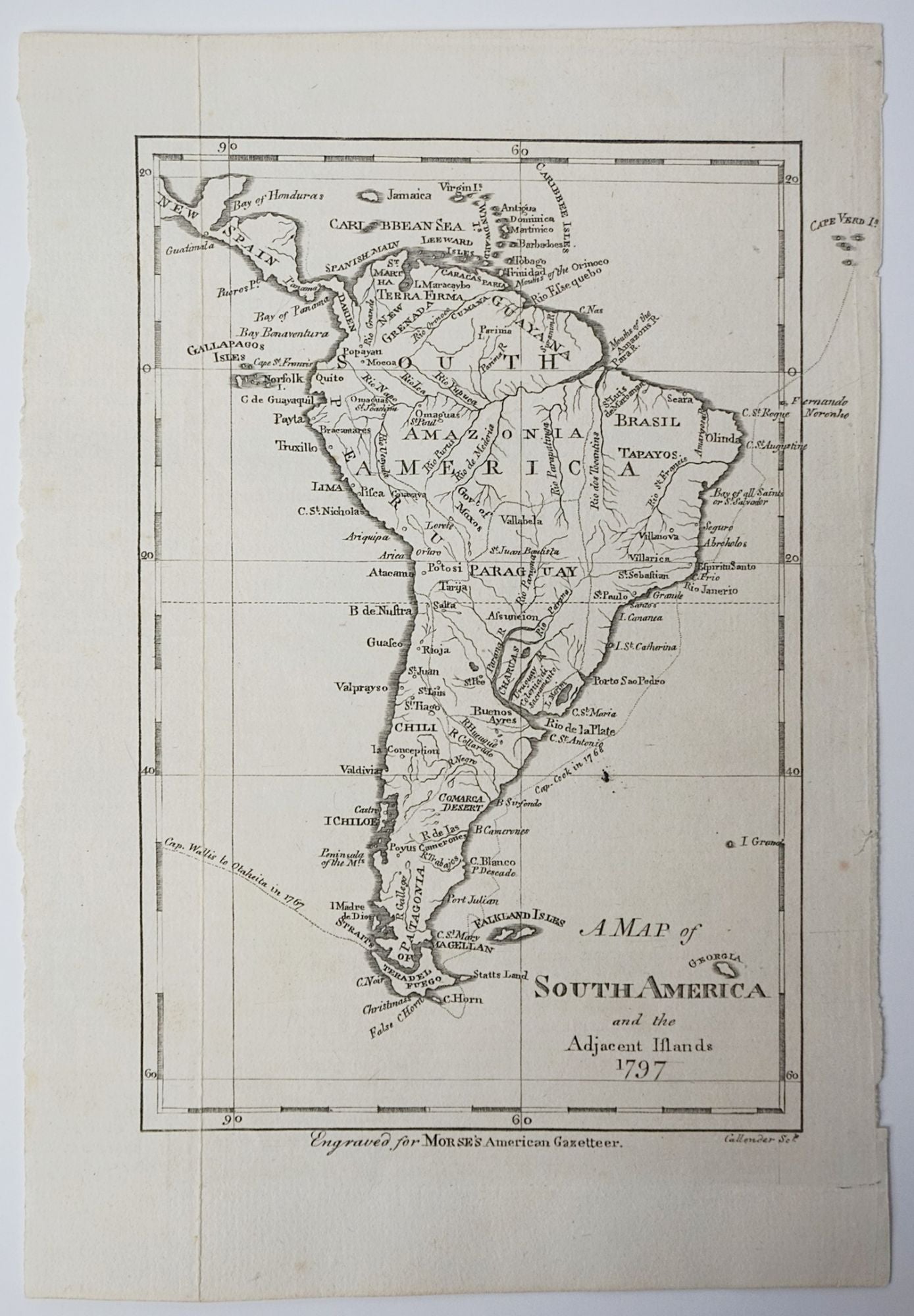
A Map of South America and the Adjacent Islands 1797. Map]
New York: 1797. Very Good. Item #6510
Engraved for The American Universal Geography, or, a View of the Present State of all the Empires, Kingdoms, States, and Republics in the Known World, and of the United States of America in Particular. MORSE, Jedidiah. Engraver: CALLENDER, Benjamin. New York (1797). Copper engraved map. Sheet/map dimensions [210 x 150mm]. Few tears on the left and right sides of the sheet, map is not affected. Map shows the islands, bodies of water, and towns of South America. Also shows the routes of Captain Cook in 1768 and Captain Wallis in 1767. Jedidiah Morse (1761-1826) was an American geographer known for his textbooks for students in the United States.
Price (CAD): $40.00