![Item #6543 Cercles de Baviere et d'Autriche. Map]. Robert de Vaugondy, Charles Delamarche.](https://krysikbooks.cdn.bibliopolis.com/pictures/6543-1.jpg?width=768&height=1000&fit=bounds&auto=webp&v=1594955529)
![Cercles de Baviere et d'Autriche. Map]](https://krysikbooks.cdn.bibliopolis.com/pictures/6543-2.jpg?auto=webp&v=1594955529)
Cercles de Baviere et d'Autriche. Map]
Paris: 1806. Very Good. Item #6543
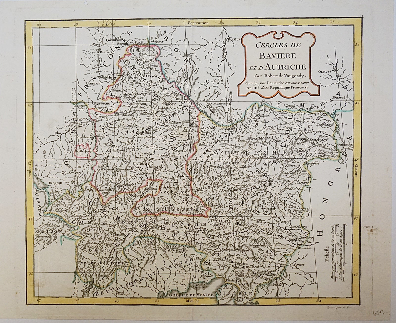
[1806]. Copper engraved map. Hand coloured. Sheet/map dimensions [270 x 330mm]. Vertical fold down the centre of the map. One small stain in right margin. Great condition. Map shows the area of Bavaria, in southern Germany and Austria. Extremely detailed and filled with city names, mountains, bodies of water, roads, and routes. Map was created by Robert de Vaugondy and reprinted by Charles Delamarche. Robert de Vaugondy (1688-1766) was a French cartographer. Charles Delamarche (1740-1817) was a French geographer and mapmaker. A successor to Robert de Vaugondy, among others, Delamarche often reprinted maps and atlases his predecessors had created.
Price (CAD): $125.00